

Enterprise
DJI Matrice 400 RTK
Engineered for Excellence, Designed for Versatility
- features
- IP55 Protection
- flight Time
- 59 min
- operating Temp
- -20°C to 50°C
Contact us
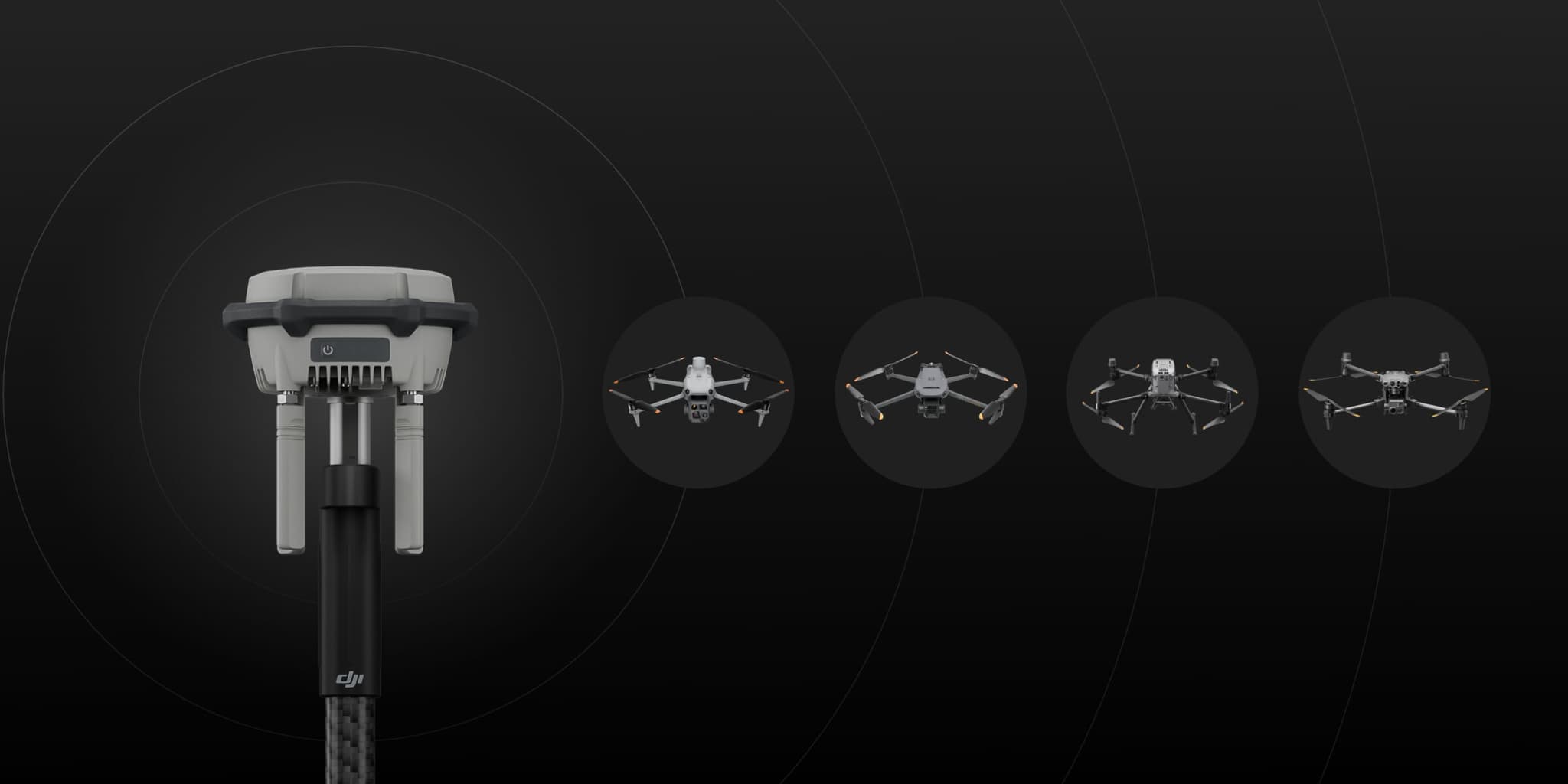
The D-RTK 3 multifunction station integrates high-performance antenna and receiver modules to track and analyze data from major global GNSS systems. It supports multiple data transmission links and can provide centimeter-level positioning to multiple drones simultaneously. In relay mode, it extends the operating range of DJI Dock 3 and drones. Combined with DJI Enterprise app and DJI Terra, it offers an integrated solution for aerial surveying with high safety and accuracy.
The D-RTK 3 multifunction station integrates high-performance antenna and receiver modules to track and analyze data from major global GNSS systems. It supports multiple data transmission links and can provide centimeter-level positioning to multiple drones simultaneously. In relay mode, it extends the operating range of DJI Dock 3 and drones. Combined with DJI Enterprise app and DJI Terra, it offers an integrated solution for aerial surveying with high safety and accuracy.
Engineered for Excellence, Designed for Versatility
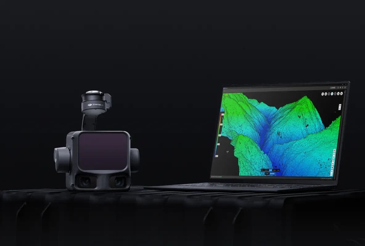
Long-range, high-accuracy aerial LiDAR system
Mapping and 3D reconstruction software
Contact our experts to learn how this product can transform your operations.
Tell us the site, the terrain and what you need to measure. We will come back with the right aircraft, payload and workflow — not a price list.