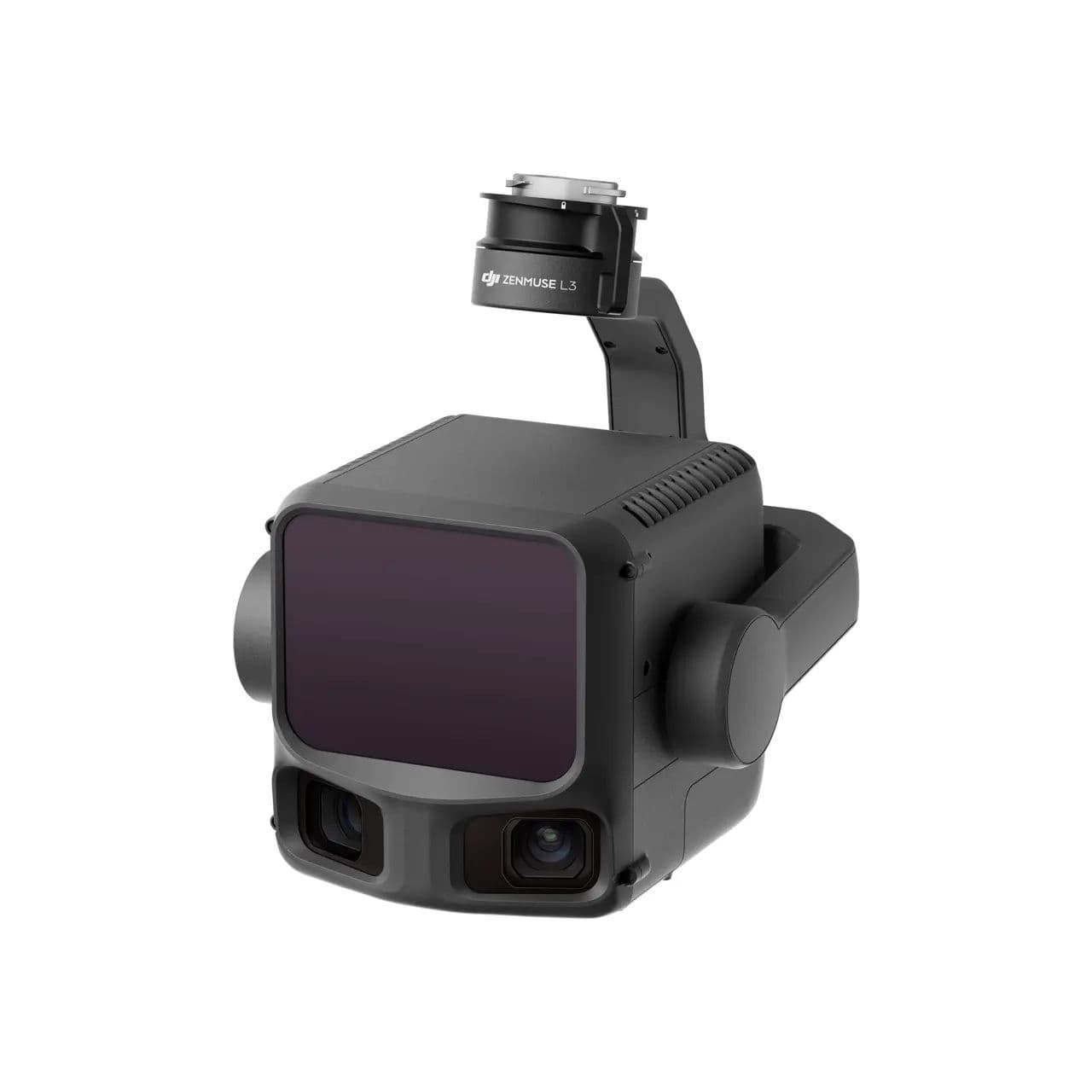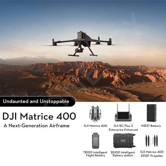
Zenmuse L3 — ảnh 1
ENTERPRISE
1 / 4

Zenmuse L3

DJI's next-generation aerial LiDAR system, the Zenmuse L3 features a 1535nm long-range LiDAR reaching up to 950m detection distance even on 10%-reflectivity objects, plus dual 100MP RGB mapping cameras and a high-precision POS system, enabling up to 100 km² of survey coverage per day. Compatible with the Matrice 400 and D-RTK 3 station.

Price on RequestContact us for pricing

Product Overview

DJI's next-generation aerial LiDAR system, the Zenmuse L3 features a 1535nm long-range LiDAR reaching up to 950m detection distance even on 10%-reflectivity objects, plus dual 100MP RGB mapping cameras and a high-precision POS system, enabling up to 100 km² of survey coverage per day. Compatible with the Matrice 400 and D-RTK 3 station.

Video Demonstration

Open the video on its original platform

Key Specifications

integration
DJI Terra, DJI Modify, DJI FlightHub 2, D-RTK 3
operating Temp
-20°C to 50°C
platform
DJI Matrice 400 (via Zenmuse L3 single gimbal connector)
positioning Accuracy
RTK Fix: 1cm+1ppm (horizontal), 1.5cm+1ppm (vertical)
power
64W (typical), max 100W
protection
IP54

Key Features

  • 1535nm long-range LiDAR, detection up to 950m
  • Dual 100MP RGB mapping cameras
  • Point cloud accuracy 3cm (horizontal)/4cm (vertical) at 120m
  • Survey up to 100 km² per day
  • IP54 dust and water resistance

Related Products

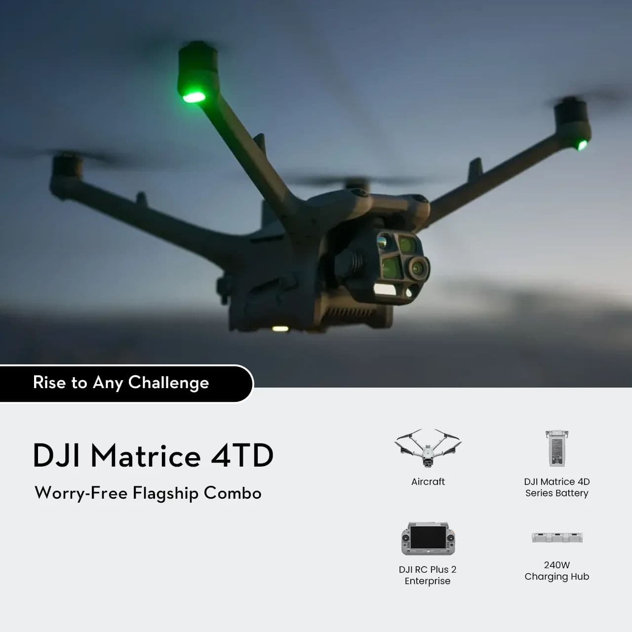
DJI Matrice 400 RTK
Enterprise

DJI Matrice 400 RTK

Engineered for Excellence, Designed for Versatility
features
IP55 Protection
flight Time
59 min
operating Temp
-20°C to 50°C
Contact us
View Details
DJI D-RTK 3
Enterprise

DJI D-RTK 3

High-precision multifunction station & relay base station
input Voltage
USB PD 9-15V (65W charging) or PoE 50-57V (Fixed Deployment version)
modes
Base / Rover / Relay
operating Temp
-40°C to +65°C
Contact us
View Details
DJI Terra
Software

DJI Terra

Mapping and 3D reconstruction software

components
Point cloud, orthomosaic, LiDAR, and agriculture modules
deploy Target
Desktop workstation (local processing)
features
3D reconstruction, Orthomosaic, Volume measurement
Contact us
View Details

Ready to Get Started?

Contact our experts to learn how this product can transform your operations.

Share thisFor Instagram, use the Share button on mobile
Ready when you are

Have a problem that needs solving from the air?

Tell us the site, the terrain and what you need to measure. We will come back with the right aircraft, payload and workflow — not a price list.

+84 383 498 469