
Software
DJI Terra
Mapping and 3D reconstruction software
- components
- Point cloud, orthomosaic, LiDAR, and agriculture modules
- deploy Target
- Desktop workstation (local processing)
- features
- 3D reconstruction, Orthomosaic, Volume measurement
Contact us
DJI Modify is intelligent 3D model editing software that automatically detects and repairs mesh defects such as floating objects, holes, and vehicles with a single click, while generating realistic textures quickly. Combined with DJI Enterprise drones and DJI Terra, Modify forms a complete solution from survey and modeling to editing and sharing.
DJI Modify is intelligent 3D model editing software that automatically detects and repairs mesh defects such as floating objects, holes, and vehicles with a single click, while generating realistic textures quickly. Combined with DJI Enterprise drones and DJI Terra, Modify forms a complete solution from survey and modeling to editing and sharing.
Mapping and 3D reconstruction software
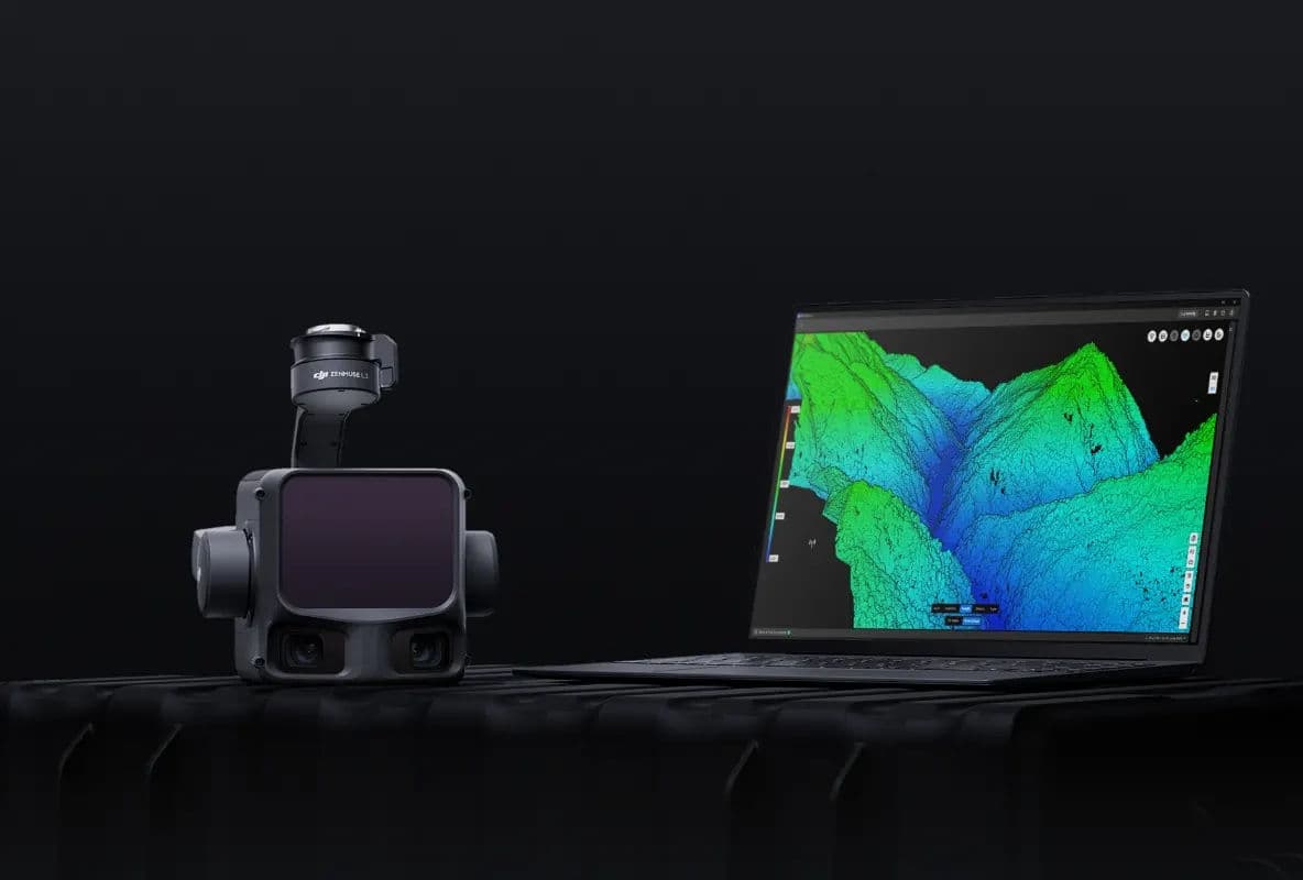
Long-range, high-accuracy aerial LiDAR system
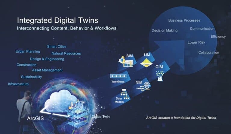
Real-time digital twin for assets, sensors and mission simulation
Contact our experts to learn how this product can transform your operations.
Tell us the site, the terrain and what you need to measure. We will come back with the right aircraft, payload and workflow — not a price list.